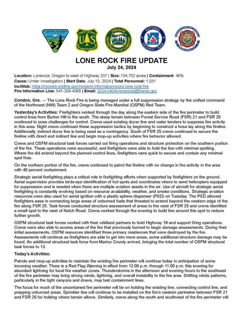
7/24 10:00 am update:

7/20 11:00 am update:
We are sharing today’s operations update from our team on the Lone Rock Fire. Their Facebook page is experiencing technical issues and they are working to resolve it. The team is posting updates to their fire’s InciWeb page:
https://inciweb.wildfire.gov/inciden…/orprd-lone-rock-fire
Operation Chief’s Dan Trapanese (NW2) and Steve Chapman (OSFM) provide detailed operational updates.
Lone Rock Fire Morning Update – July 20, 2024
Containment: 40%
Total Personnel: 800
Total Acres: 83,922
ODF Private Protection: 32,270
BLM: 2,105
FS: 3,400
Dept. of State Lands: 64
Unprotected Lands: 46,083
*There was not an Infrared last night, so the acres remain the same.
***The National Weather Service has issued a RED FLAG WARNING from 11 a.m. Saturday through 11 p.m. Sunday for hot, dry, and unstable conditions***
Stay safe and informed, and thank you for your continued support.
Inciweb Page:
https://inciweb.wildfire.gov/inciden…/orprd-lone-rock-fire
Fire Information, 8 a.m. – 8 p.m.: 541-208-4369
7/19 3;30 pm update:
LEVEL 3 – GO NOW ! EVACUATION FOR THE COMMUNITY OF SPRAY.
MULTIPLE FIRST RESPONDERS ARE EN ROUTE TO SPRAY TO ASSIST WITH EVACUATIONS AT THIS TIME.
Instructions from the Wheeler County Sheriff’s Office.
“There is a designated emergency shelter located at Wheeler High School, 600 E B St, Fossil, Oregon.
Your safety is our top priority. Do not delay. Gather your essential belongings and pets, and leave your homes immediately.
Stay safe and follow all instructions from emergency personnel.
Wheeler County Sheriff’s Office“
7/18 12;20 pm update:
Here is an update regarding the Lone Rock Fire. The fire size is now at 77,020 acres with a containment of 10%. At this time, there are 607 personnel assigned to this incident.
We’ve attached the daily fire update and burn map provided to us by the Oregon State Fire Marshal and Oregon Department of Forestry.
The current evacuation levels remain for Gilliam County:
Level 2 (Get Set) – The community of Lonerock and residences to the North.
Level 3 (Go Now) – Residences South of Lonerock to the Gilliam County / Wheeler County line.
The Wheeler County Sheriff’s Office have adjusted some of their evacuation levels and areas, but please refer to their Facebook for up to date information.
For those who have drone, a Temporary Flight Restriction (FTR) is in place. If an unauthorized drone is observed in the temporary flight restrictions not only is it a crime, but it will bring all aerial fire suppression to a halt.
07/17/2024 at 3:46 pm
With the progression of the fire, here is a current evacuation level for the Lonerock Community.
REDUCED TO LEVEL 2 for residences North of Lonerock.
REMAINS AT LEVEL 3 for residences South of Lonerock.
We are still working on confirming an accurate size in acreage for this fire for this update. Per watch duty, they are advising a lower number of 69, 354 acres.
Please follow Lone Rock Fire Information for up to date information regarding fire fighting efforts. We will provide another update when it becomes available.

